Aerial Traingulatopn
Click edit button to change this text. Lorem ipsum dolor sit amet, consectetur adipiscing elit. Ut elit tellus, luctus nec ullamcorper mattis, pulvinar dapibus leo.
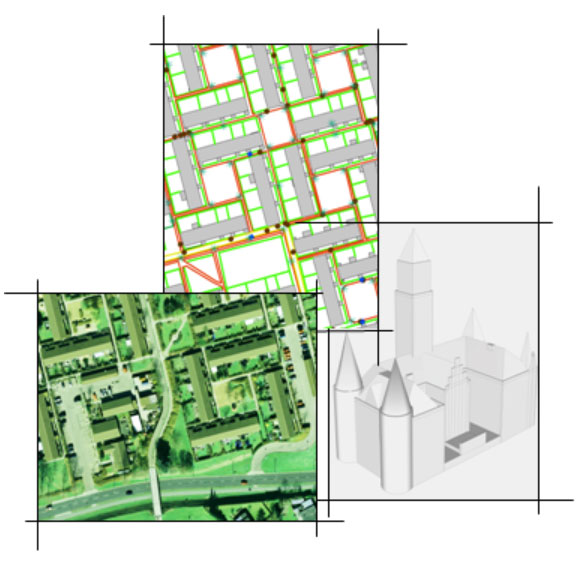
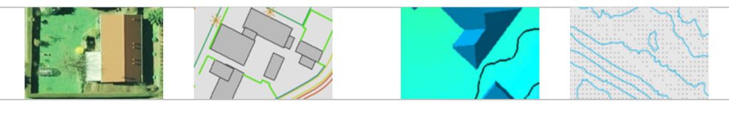
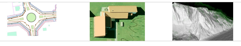
Orthophoto
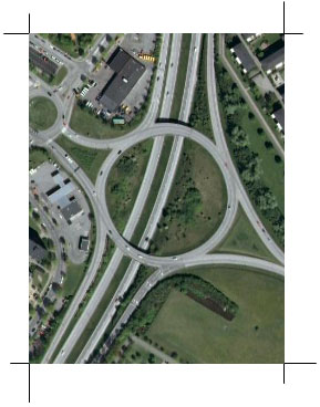
Orthophoto production is one the most important services by SML. We have successfully completed a number of Orthophoyto projects for its clients from Europe.Scanmap provide the final output of orthophoto with proper radiometric and geometric corrections
Laser Scanning data Editing
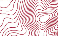
Digital Terrain Model (DTM) and Digital Surface Model (DSM) from Airborne Laser Scanning Data is one of the most important services by ScanMap
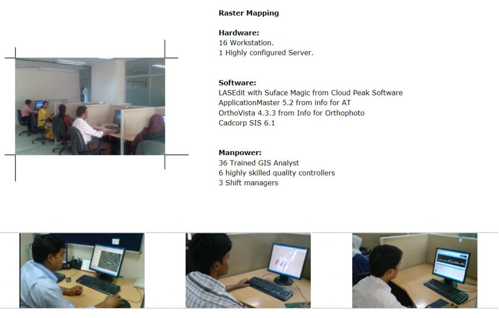
DTM & Contour Editing
Generation of precise and accurate DTM or any kinds of surface need better input data. In case of automatically genererated masspoints from aerial images or from laser scanning data
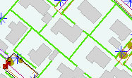
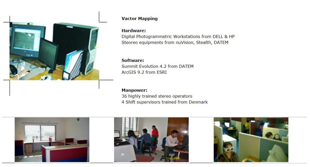
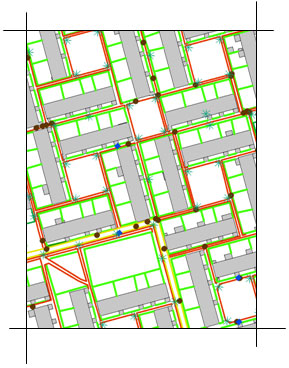
Vector Mapping
Vector mapping from aerial stereo images is one of the most important services by SML. We have successfully completed a number of vector mapping projects for its clients from Europe and USA
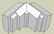
3D Building Models
3D City Model is one of the highly pronounced products now a days in the filed of Photogrammetry and Geo-information. SML is trained at producting high quality & high detail 3D buildings from stereo images
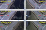
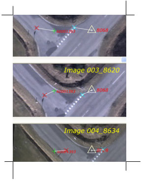
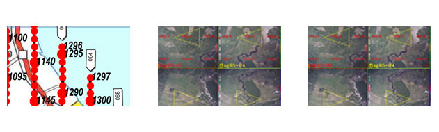
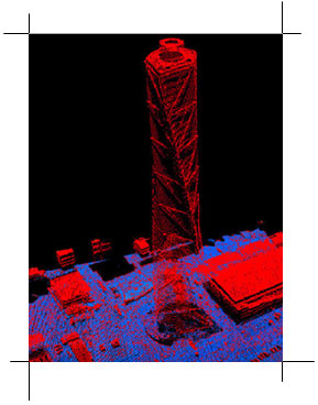
Aerial triangulation is a mathematical process used to determine the position and orientation of each photograph at the moment of exposure. Aerial triangulation solves for each photo’s exterior orientation parameters, which convey the information necessary to convert image measurements into ground coordinates, as well as determine image points that correspond to points on the ground. Knowledge of the orientation parameters enables photogrammetric principles to be applied to
planimetric and topographic map compilation, orthophoto production, digital terrain model editing and creation, and other important support tasks.
Aerial Triangulation (AT) determines the orientation parameters in images.
AT forms an important part in the mapping process to ensure the photogrammetric accuracy.
Input:
Aerial Image/Digital camera photographs, IMU data and GPS/INS data
Software:
 ApplicationMaster 5.2
Output:
IMU/SUMMIT
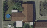
Orthophoto production is one the most important services by SML. We have successfully completed a number of Orthophoyto projects for its clients from Europe. SML provide the final output of orthophoto with proper radiometric and geometric corrections. We have highly trained and efficient Photogrammetrists with well configured workstations and software to ensure smooth production.
SCANMAP is extending its digital orthophoto production capabilities to ensure the requirement of high-end mapping requirements with emphasis on geometric quality, color balance, edge matching etc. Our highly skilled operators, trained in Denmark, are able to handle very large orthophoto projects with emphasis on time and throughpu.
(SML has large experience on producing manual seamline or the correction of automatically generated seamlines for Ortho-mosaic).
Input:
Aerial Image/Digital camera photographs and AT data.
Software:
OrthoVista 4.3.3
Output:
IFF/ECW 500m,1km, 2km tiles/Images
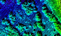
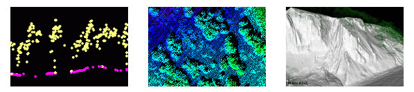
Digital Terrain Model (DTM) and Digital Surface Model (DSM) from Airborne Laser Scanning Data is one of the most important services by SML. We AMZ Solutions Limited have successfully completed a number of DTM and DSM projects for the clients from Europe.
DTM and DSM involve new modeling as well as updating of existing data. Usually these kinds of modeling are based on different specifications from clients where our highly trained Analyst are experienced at SML.
Input:
Airborne Laser Scanning data, Ortho Images as Background Reference file, Mapping Specification.
Software:
![]() ApplicationMaster 5.2
ApplicationMaster 5.2
Output:
Cloud Peak LAS file, ASCII, ESRI Shape 2D, ESRI ShapeZ 3D etc.
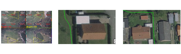
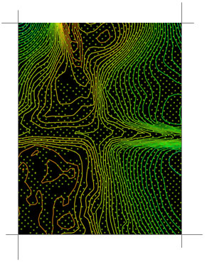
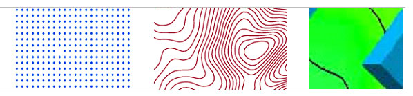
Generation of precise and accurate DTM or any kinds of surface need better input data. In case of automatically genererated masspoints from aerial images or from laser scanning data, it is necessary to check anomalies in the data with respects to the surfaces. Our operators are experienced at correcting those errors in the input data for generating surfaces.
Correction of automatically generated contours is one of the jobs that ScanMap does.
Input:
Stereo images, Aerial Triangulation data, Mapping Specification
Software:
 Summit Evolution 4.2 as stereo plotter
 ArcGIS 9.2 for data storage
Output:
Google Earth KML/KMZ or DXF file
Vector mapping from aerial stereo images is one of the most important services by SML. We have successfully completed a number of vector mapping projects for its clients from Europe and USA.
Vector mapping projects involves new mapping as well as updating of existing data. Usually these kinds of mapping are based on different specifications from clients, for example, TK99, DGP, FOT etc (Danish mapping specification) where our highly trained operators are experienced at.
Input:
Stereo images, Aerial Triangulation data, Mapping Specification
Software:
Summit Evolution 4.2 as stereo plotter
ArcGIS 9.2 for data storage
Output:
ESRI Shape files, ESRI geo-database, .dxf, DSFL etc.
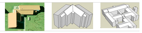
3D City Model is one of the highly pronounced products now a days in the filed of Photogrammetry and Geo-information. SML is trained at producting high quality & high detail 3D buildings from stereo images.
Level of detail(LOD) for 3D buildings varies depending on projects requirements; usually it is very high in city centre where buildings are pretty complex, and low in single family house plots or country areas where buildings are simpler.
Input:
Stereo images, Aerial Triangulation data, Level of Detail
Software:
Summit Evolution 4.2 as stereo plotter
ArcGIS 9.2 for data storage
![]() Google SketchUp for visualization
Google SketchUp for visualization
Output:
DXF and KML file